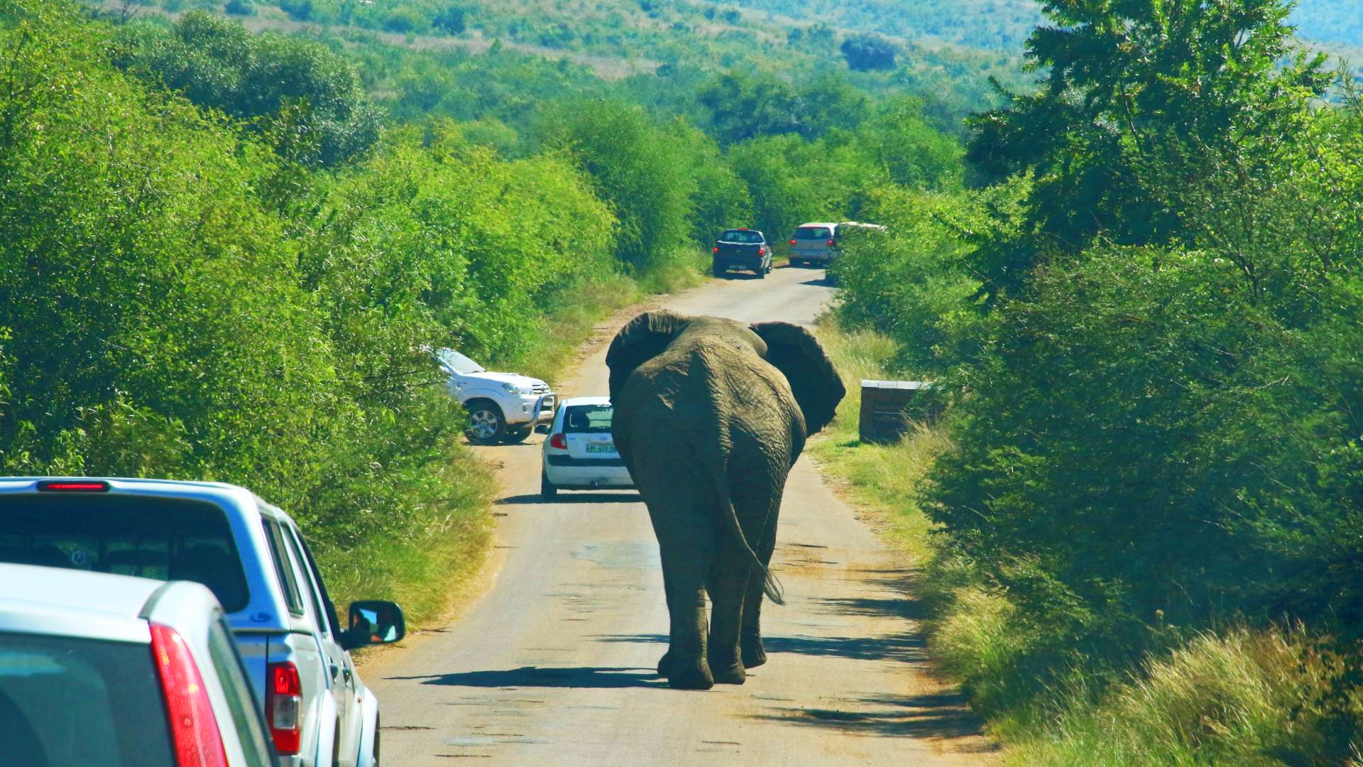
Technology has become an inseparable element of our civilization. Even looking at powerful countries that 50 years ago did not want to take part in this "race", today they are the largest producers of technology in the world. The development of tools and the gradual publication of data have led to the creation of many interactive applications that describe the world to us in a simple and accessible way.
Some of the data shown below were published even since the 1980s and earlier, but the way of presenting and transmitting them limited their scope. There is a lot of research and experimentation that confirms that graphical presentation of data is much more effective - visual info is retained by the brain. Of course, it's best to have access to raw data and be able to process it on your own, but most people do not necessarily specialize in this field. Below I present a few web applications that may change your perception of the world. Enjoy.
HungerMap
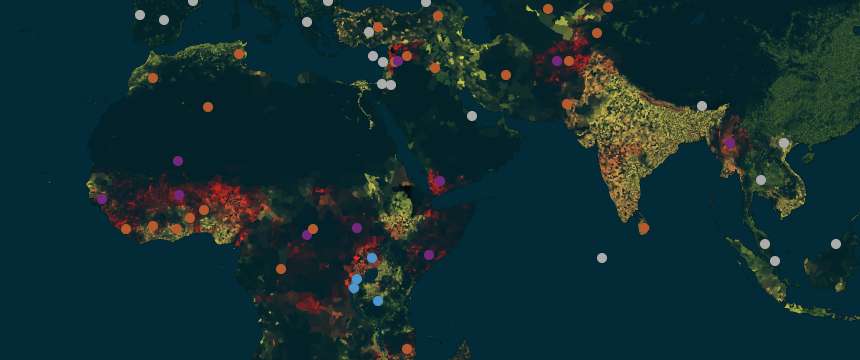
The data provider is the World Food Program, a UN agency. The 2020 Nobel Peace Prize has been awarded to them. On this map you will find information about which countries are struggling with the problem of hunger and food production.
ACLED
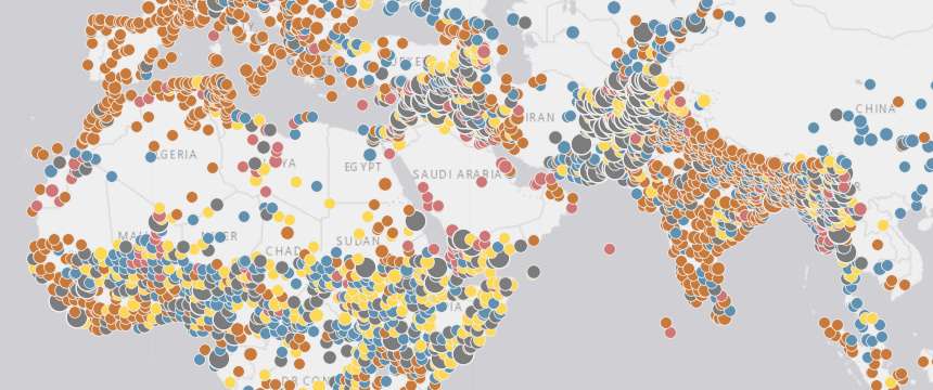
Probably top 1 in this category. While browsing this map, you can "hang" for a moment - sad but true. It stands for Armed Conflict Location & Event Data Project. Collects real-time data on the locations, dates, actors, fatalities, and types of all reported political violence and protest events around the world.
FIRMS
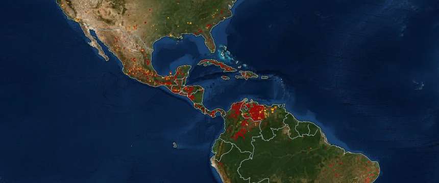
Fire Information for Resource Management System (FIRMS). Global fire map and data. Application provided by NASA distributes Near Real-Time (NRT) fire/thermal anomaly data within 3 hours of satellite observation from NASA systems.
FlightRadar24

The most recognizable flight tracking system. You can check which planes (model, airline) are flying over your sky, and even check their altitude and speed. It provides data from over a dozen sources and is probably one of the best applications of this type. Alternatives are AirNav RadarBox, FlightAware, and Plane Finder.
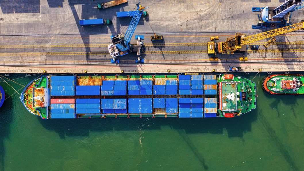
MarineTraffic

Similar to FlightRadar24 only on water. It collects data on the location of tankers and water units. In my opinion, the best application of this type for observing the seas and oceans.
NASA Global Temperature

This has been a hot topic for over a dozen years. For some, this is scientific gibberish, but science defends itself without fighting too much. The system collects data from many sources, for example measuring the temperature of the oceans uses more than 3,000 sensors (ARGO system). The system is not LIVE, but it is worth checking it once a year, usually the data is published at the beginning of January.
SubmarineCableMap
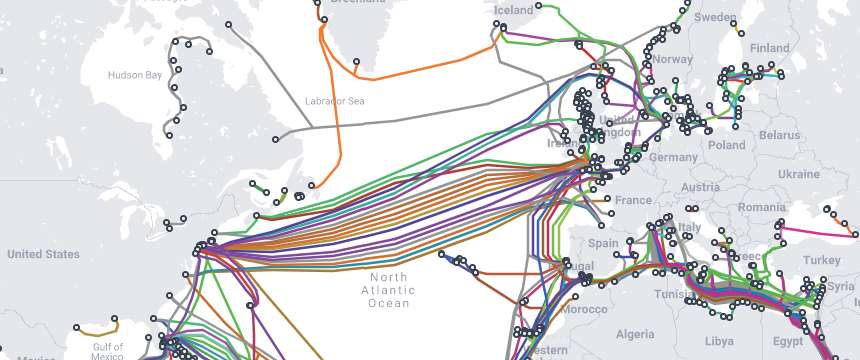
Well that's crazy. While reading scientific publications and books on connectivity, I thought that the state of underwater cables was so familiar to me, but this application made me realize how many areas were missed.
Zoom Earth
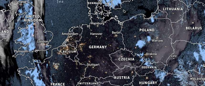
Weather application, provides live data (as per the information on the website). It is the most convenient and simplest application that I have found for observing the weather on our planet.
Google Earth
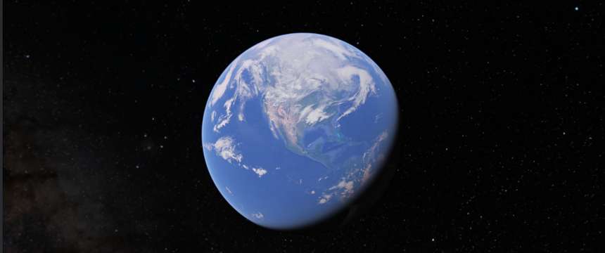
This is probably nothing new. The application allows you to view world maps in very accessible graphics. An interesting fact is that the web version no longer provides historical photos from satellites, if you would like to have access to them, you just need to download the Google Earth Pro application (supports any operating system, Windows / Mac / Linux).
Closing notes…
I do not know if this entry provides more entertainment or dilemmas, one thing is for sure we live in a very rapidly changing world (well done dear 2022 ...), which aspires to become a great global city while remaining the same little blue dot - a pale blue dot as described by Carl Sagan. Let's try not to destroy it. Cheers.
Seen from about 4 billion miles, Earth appears as a tiny dot within deep space: the blueish-white speck almost halfway up the rightmost band of light.

Look again at that dot. That's here. That's home. That's us. On it everyone you love, everyone you know, everyone you ever heard of, every human being who ever was, lived out their lives. The aggregate of our joy and suffering, thousands of confident religions, ideologies, and economic doctrines, every hunter and forager, every hero and coward, every creator and destroyer of civilization, every king and peasant, every young couple in love, every mother and father, hopeful child, inventor and explorer, every teacher of morals, every corrupt politician, every "superstar," every "supreme leader," every saint and sinner in the history of our species lived there--on a mote of dust suspended in a sunbeam.
Carl Sagan